Baltic Geospatial Information Technology Conference
Who we are
The conference is organized by the representatives from each Baltic state – the Latvia’s GIS Association, the Estonian Geoinformatics Society, and the Lithuanian Cartographic Society in cooperation with our conference partners and supporters.
State of the Map Baltics 2026 has joined Baltic Geospatial Information Technology Conference 2026. OpenStreetMap is a collaborative project to create a free and open-source map of the world, created and maintained by a community of volunteers.
![]()
What we do
The Baltic Geospatial Information Technology Conference is a unique cooperation among Estonia, Latvia, and Lithuania in order to organise a regional industry event that fosters cross-border collaboration in the field of geospatial information technology. Apart from exchanging experiences to expand knowledge and innovation, as well as exploring market growth opportunities, the goal is to build a common view and vision for the development of the industry in the Baltic region.
We stand with Ukraine and its people until the victory.
#StandWithUkraine
Why attend
The BGITC is an event for anyone who is interested in geospatial information technologies – be it students, researchers from universities, representatives from corporations, government institutions and municipalities or entrepreneurs.
Throughout the day, you will have an opportunity to:
- tune into speakers – both local and international – at any of the several parallel sessions
- meet and exchange ideas with GIT advocates, professionals and enthusiasts
Attendance at the conference is free of charge.
Speakers
Ieva Ilves
Cybersecurity and Digital Policy Advisor (Ukraine/Latvia)Gordon Campbell
Head of Resilience and Competitiveness Section at ESAValerio Gulli
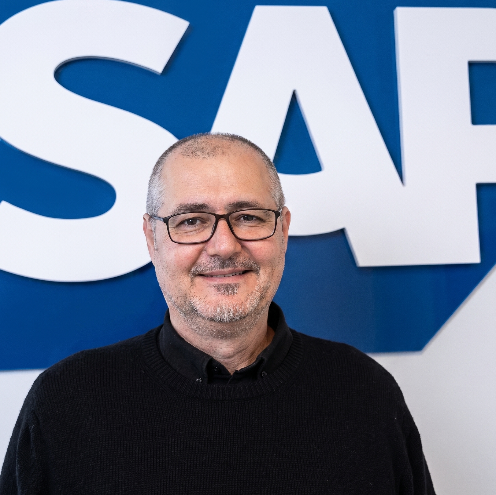
Senior Business Development Manager at European Space Imaging (EUSI)Miquel Carbó
Director at the Utilities Industry Business Unit of SAPRami Alouta
Lead Solutions Engineer at EsriJoe Cotti
Senior Sales Manager with the Space Digital Business Line of AirbusElza Bidere
Head of Sales Department at SIA EnvirotechDeividas Kutkevičius
Hnit-Baltic GIS Systems AnalystMarta Kaczmarek
Application Engineer at Bentley SystemsJaan Saar
Operational Lead for the LDT CitiVERSE EDICPüü Polma
GIS Product Manager and Geoinformatics Specialist at Regio OÜElīza Ozola
IT Project Manager at MappostTomas Straupis
OpenStreetMap CommunityAndres Kasekamp
GIS developer at Industry62Anita Līvija Rozenvalde
Latvia`s State ForestsIlya Zverev
OpenStreetMap CommunityVizma Mičule
OpenStreetMap CommunityArtūrs Pizičs
OpenStreetMap CommunityKlas Segeljakt
Industrial PhD student at Research Institutes of SwedenPriscilla Zachee
OSM Community Manager for Europe at TomTomVlada Boitsik
Project Manager at TomTomTomasz Kozlowski
Project Manager at TomTomAndrius Balčiūnas
Lecturer at the Vilnius University Geoscience Institute


Gold Partners


Silver Partners
![]()
Bronze Partners

Supporters

![]()
Agenda
Registration and Coffee
To Be Resilient – Be Digital: With Experience from Ukraine

Future Trends in space data: dual use and more

Morning Coffee Break
Resilient VHR Satellite Mapping at Scale: Monitoring Europe’s Borders, Land and Cities

Business & GIS intelligence: the untapped frontier

ArcGIS & AI – A Platform for Geospatial AI

Lunch Break
Scaling Local Digital Twins Through Shared Infrastructure

Data-Driven Planning: From Location Analytics to 3D Urban Solutions in ArcGIS


Beyond Points on a Map: Maintaining Address Intelligence Across the Baltics

Routing and Optimization Complexities in Home Care: An Oslo Case

Dynamic asset network risk analysis
Mapping: balance of purpose and joy

Data Formats in GIS
How mid-inclined orbits, short ATOM cut-off times, and 15-minute delivery transform GEOINT and emergency response operations
Every cycleway, measured

Airbus’ Current and NEXT EO Capabilities

Can frost be detected from the space? Satellites and meteorological data

Mapping grandma’s milk churn stands


Afternoon Coffee Break
From Reality Capture to Infrastructure Intelligence: Connecting MicroStation, iTwin Capture and Bentley Infrastructure Cloud

SpaceCoMP: Distributed On-Board Processing for Live Earth Observation

TomTom Growing Open Mapping with Universities


Free and open-source national vector basemap of Lithuania
rtk4forest: Offline cm level Precision for Baltic Forestry

Vector Tiles: Lessons from Eight Years in Production
Use of GIS in Military History Research

A Policy-driven Framework for Identifying and Ranking Strategic Transport and Urban Corridors